Storm watch
A potential Nor’easter: what is still uncertain
An early coastal-storm outlook for the Northeast, with the track, timing and rain–snow line still unresolved.
An early outlook, not a locked-in forecast
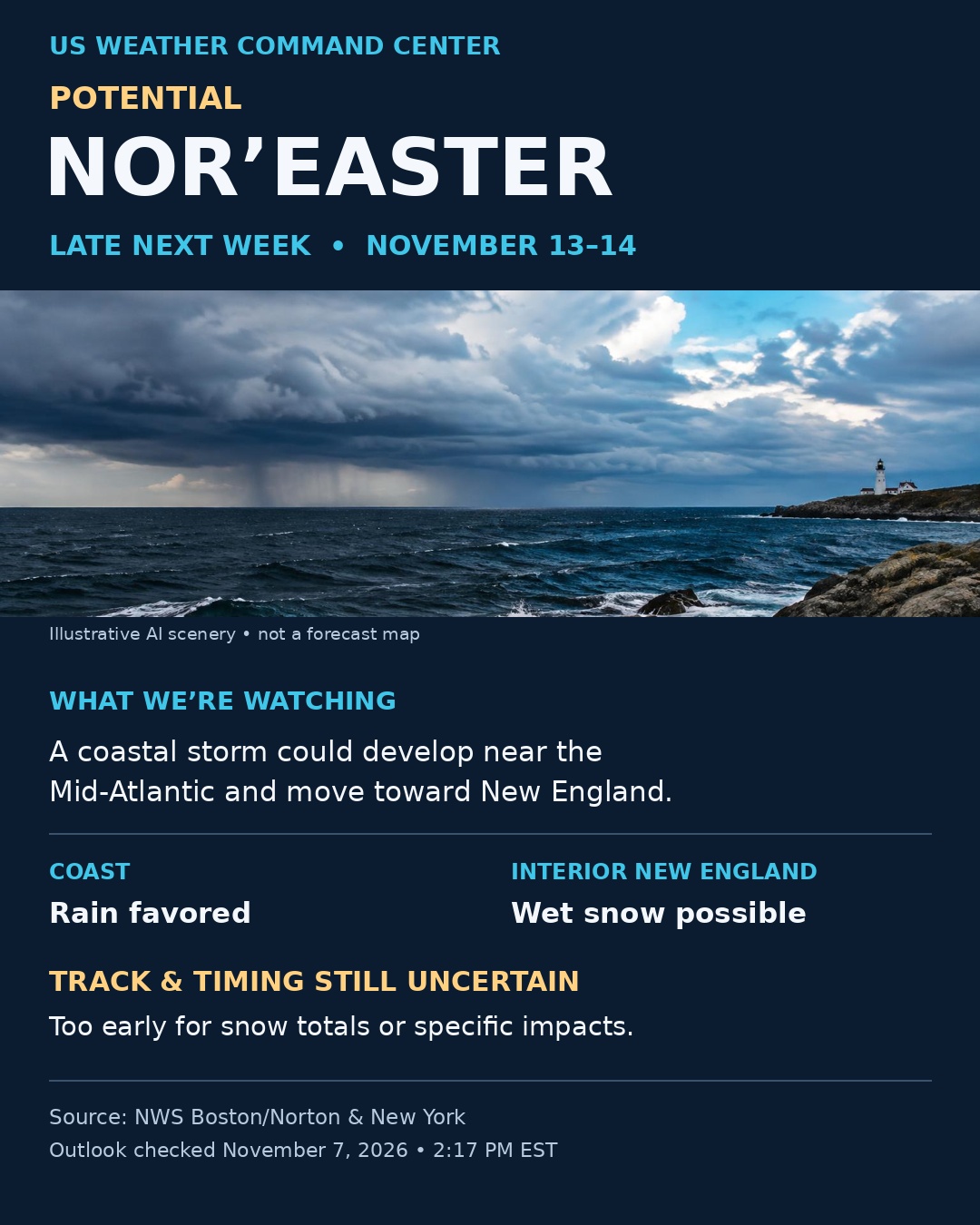
The November 7 NWS discussions considered coastal low pressure developing near the Mid-Atlantic and moving toward New England around November 13–14. Some guidance delayed development until later in the weekend. Whether and how the system develops remained uncertain.
Coast versus interior
Rain was favored along the coast in the early southern New England outlook, where relatively warm ocean waters could keep temperatures above freezing. Interior areas could see wet snow if sufficient cold air aligns with the storm. That is a possibility, not a forecast for every location.
The details that matter
Storm track, arrival time, strength and the rain–snow line remained unresolved. It was too early to provide snowfall totals or promise damaging winds or coastal flooding. A change in track can produce a very different outcome.
Keep the forecast local
Check your local National Weather Service forecast as the week progresses, especially before travel. This article preserves the dated outlook; it is not a continuously updated forecast or an official alert.
Sources & issue dates
Source links show the latest discussion and may differ from the dated issues used for this article.
- NWS Boston/Norton forecast discussion
Issued November 7, 2026 · 1:16 PM EST
- NWS New York forecast discussion
Issued November 7, 2026 · 12:41 PM EST