Pattern change
A western ridge. An eastern trough. A changing jet stream.
A late-week shift in the upper-level flow could favor milder air beneath a western ridge and colder air around an eastern trough.
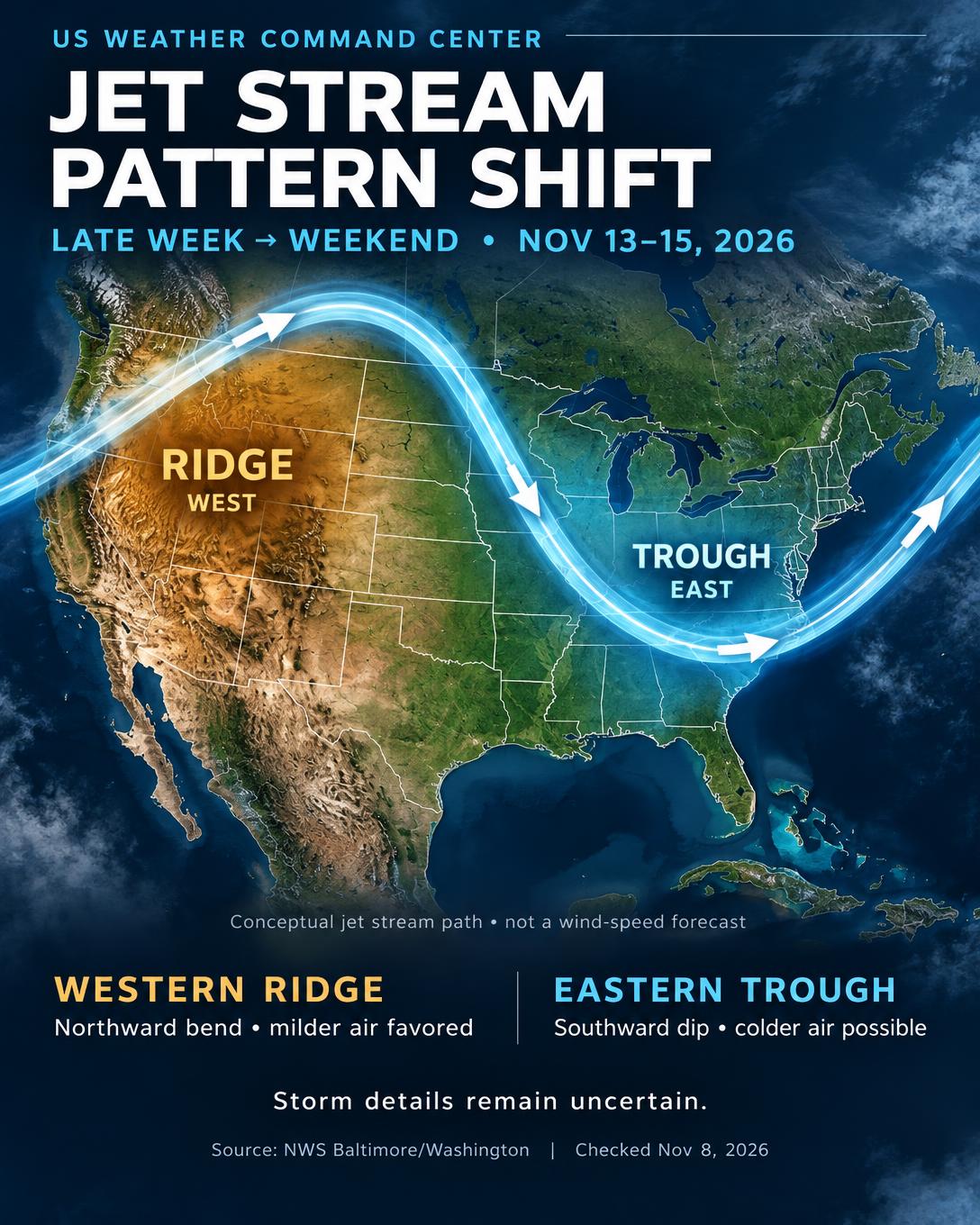
The ridge in the West
A ridge is a northward bulge in the upper-level flow. It generally favors milder air beneath it, but does not guarantee sunshine or dry weather everywhere. The West Coast can still receive precipitation.
The trough in the East
A trough is a southward dip in the upper-level flow. In the November 8 discussion, NWS Baltimore/Washington described a deep trough developing across the eastern half of the country late in the week, with much cooler Mid-Atlantic conditions Thursday through Saturday.
Cold air does not guarantee snow
A trough can support storm development downstream. The track, timing, available moisture and surface temperatures determine who receives rain, wind or snow. This pattern alone cannot establish snowfall amounts or local impacts.
The pattern will evolve
NOAA’s November 7 outlook placed the ridge farther inland and the trough offshore in its November 13–17 average. The graphic explains a late-week setup, not a promise that the same pattern remains in place all weekend. Check your local forecast for updated details.
Sources & issue dates
Source links show the latest discussion and may differ from the dated issues used for this article.
- NWS Baltimore/Washington forecast discussion
Issued November 8, 2026 · 7:59 AM EST
- NOAA CPC 6–10 day outlook discussion
Issued November 7, 2026 · 3 PM EST